-
Using Topographic Maps
Tracy Nelson Maurer
eBook (Lerner Publications TM, Aug. 1, 2016)Want to know just how tall Mount Everest is? Or what the city of Denver's elevation is? Then look at a topographic map! These maps use lines to show the height and shape of Earth's surface. But how do you read the lines? And what other features do these maps have? Read on to learn the ins and outs of topographic maps! R
R
-
Using Topographic Maps
Tracy Nelson Maurer
Paperback (LernerClassroom, Aug. 1, 2016)Want to know just how tall Mount Everest is? Or what the city of Denver's elevation is? Then look at a topographic map! These maps use lines to show the height and shape of Earth's surface. But how do you read the lines? And what other features do these maps have? Read on to learn the ins and outs of topographic maps!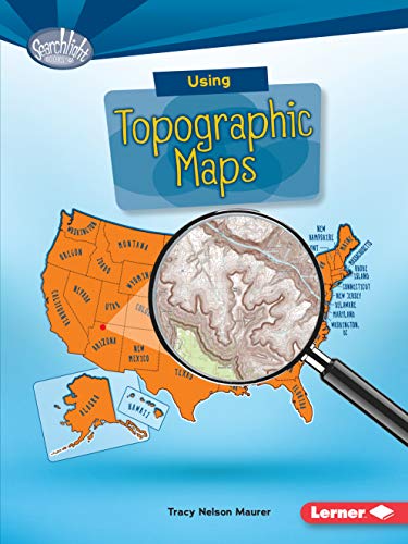 R
R
-
Using Topographic Maps
Tracy Nelson Maurer
Library Binding (Lerner Publications, Aug. 1, 2016)Want to know just how tall Mount Everest is? Or what the city of Denver's elevation is? Then look at a topographic map! These maps use lines to show the height and shape of Earth's surface. But how do you read the lines? And what other features do these maps have? Read on to learn the ins and outs of topographic maps! R
R
-
Using Topographic Maps
Tracy Nelson Maurer, Intuitive, Lerner Digital ™
Audiobook (Lerner Digital ™, Jan. 14, 2020)Want to know just how tall Mount Everest is? Or what the city of Denver's elevation is? Then look at a topographic map! These maps use lines to show the height and shape of Earth's surface. But how do you read the lines? And what other features do these maps have? Listen on to learn the ins and outs of topographic maps! Please note: The original source audio for this production includes noise/volume issues. This is the best available audio from the publisher.