Age
8-11
Grade
3-5
Tracy Nelson Maurer
Using Topographic Maps
Paperback
(LernerClassroom Aug. 1, 2016)
, Reprint edition
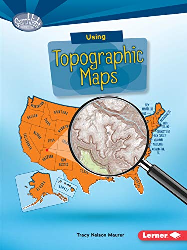
Want to know just how tall Mount Everest is? Or what the city of Denver's elevation is? Then look at a topographic map! These maps use lines to show the height and shape of Earth's surface. But how do you read the lines? And what other features do these maps have? Read on to learn the ins and outs of topographic maps!
- Series
- Searchlight Books TM _ What Do You Know about Maps?
- ISBN
- 1512412961 / 9781512412963
- Pages
- 40
- Weight
- 3.8 oz.
- Dimensions
- 6.8 x 0.2 in.
Enjoy reading Using Topographic Maps? You may also like these books
-
R

Tracy Maureen Nelson Maurer
The World's Worst Volcanic Eruptions
Paperback (Capstone Press Jan. 1, 2019)