-
Looking at Maps: Level 4
Moira Anderson
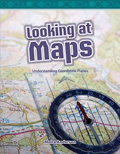
Paperback (Teacher Created Materials, Oct. 10, 2008)This engaging book teaches students how to read maps, and introduces them to symbols, keys, compasses, grid coordinates, and map ratios. With vibrant photos, math charts and diagrams, grade-appropriate text, and informational text features to help navigate the text, students will learn practical, real-world applications of math skills as they learn coordinate planes and build their STEM skills. Q
Q
-
Looking at Maps: Understanding Grid Coordinates
By (author) Moira Anderson
Paperback (TEACHER CREATED MATERIALS, July 6, 2008)Maps show us where things are in the world with abstract pictures of what is in view. Many maps have grid coordinates that make it easier to locate where something is. A vertical grid line is known as longitude and a horizontal line is known as latitude. Symbols and keys are important parts of maps. A scale helps us know how far apart things are from each other in real life. Compasses also help us...
-
Looking at Maps
Moira Anderson
eBook (Teacher Created Materials, Oct. 10, 2008)Learn all about maps in this informative title! This book teaches readers how to read maps, introducing them to symbols, keys, compasses, grid coordinates, and map ratios. Find symbols on a map! Identify the coordinates of a point on a map! Use map ratios and mathematical and STEM skills to determine distances on a map! With vibrant images, clear mathematical charts and diagrams, simple practice problems, and an accessible glossary, this book gives readers plenty of opportunities to practice reading maps with ease. Q
Q