-
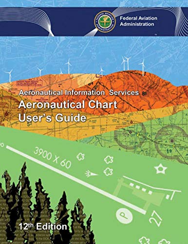
Aeronautical Chart User's Guide
Federal Aviation Administration
eBook (Skyhorse, July 25, 2017)The updated 11th edition of the Aeronautical Chart User’s Guide by the FAA is a great reference for novice pilots and professionals alike. Printed in full color with detailed examples, this book provides all the information students and pilots need to know about all the symbols and information provided on US aeronautical charts and chart navigation publications. Readers will find information on VFR charts, aeronautical chart symbols, helicopter route charts, flyway planning charts, IFR enroute charts, explanation of IFR enroute terms and symbols, Terminal Procedure Publications (TPPs), explanation of TPP terms and symbols, airspace classifications, and an airspace class table.
-
Aeronautical Chart User's Guide
Federal Aviation Administration
Paperback (CreateSpace Independent Publishing Platform, Aug. 4, 2017)This Chart User’s Guide is an introduction to the Federal Aviation Administration’s (FAA) aeronautical charts and publications. It is useful to new pilots as a learning aid, and to experienced pilots as a quick reference guide. The FAA publishes charts for each stage of Visual Flight Rules (VFR) and Instrument Flight Rules (IFR) air navigation including training, planning, and departures, enroute (for low and high altitudes), approaches, and taxiing charts. The FAA “Aeronautical Chart User's Guide” is designed to be used as a teaching aid, reference document, and an introduction to the wealth of information provided on FAA's aeronautical charts and publications. It includes explanations of chart terms and a comprehensive display of aeronautical charting symbols organized by chart type.
-
Aeronautical Chart User's Guide
Federal Aviation Administration
Paperback (CreateSpace Independent Publishing Platform, July 23, 2017)This Chart User’s Guide is an introduction to the Federal Aviation Administration’s (FAA) aeronautical charts and publications. It is useful to new pilots as a learning aid, and to experienced pilots as a quick reference guide.
-
Aeronautical Chart User's Guide
Federal Aviation Administration
Paperback (Skyhorse, July 25, 2017)The updated 11th edition of the Aeronautical Chart User’s Guide by the FAA is a great reference for novice pilots and professionals alike. Printed in full color with detailed examples, this book provides all the information students and pilots need to know about all the symbols and information provided on US aeronautical charts and chart navigation publications. Readers will find information on VFR charts, aeronautical chart symbols, helicopter route charts, flyway planning charts, IFR enroute charts, explanation of IFR enroute terms and symbols, Terminal Procedure Publications (TPPs), explanation of TPP terms and symbols, airspace classifications, and an airspace class table. Y
Y
-
Aeronautical Chart User's Guide
Federal Aviation Administration (FAA)
eBook (Ravenio Books, Aug. 23, 2016)This Chart User's Guide is an introduction to the Federal Aviation Administration's (FAA) aeronautical charts and publications. It is useful to new pilots as a learning aid, and to experienced pilots as a quick reference guide.
-
Aeronautical Chart User's Guide
Federal Aviation Administration, Elite Aviation Solutions
Paperback (Elite Aviation Solutions, Aug. 5, 2018)FULL COLOR quality print of the FAA’s Aeronautical Chart User’s Guide. This Aeronautical Chart User’s Guide is an introduction to the Federal Aviation Administration’s (FAA) aeronautical charts and publications. It is useful to new pilots as a learning aid, and to experienced pilots as a quick reference guide. The FAA is the source for all data and information utilized in the publishing of aeronautical charts through authorized publishers for each stage of Visual Flight Rules (VFR) and Instrument Flight Rules (IFR) air navigation including training, planning, and departures, enroute (for low and high altitudes), approaches, and taxiing charts.