-
Make Your Own Art -Lib
Sally Henry
Hardcover (PowerKids Press, Sept. 1, 2008)Provides an introduction to six types of art and includes step-by-step instructions for completing several projects in each area. K
K
-
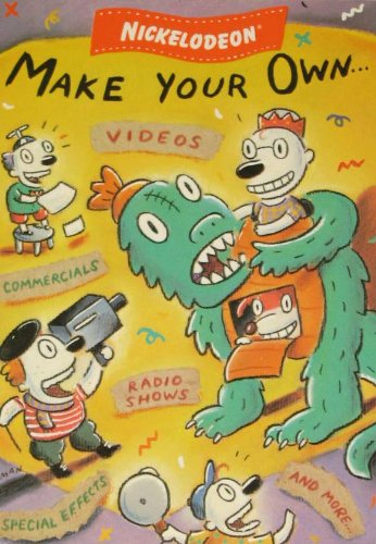
Make Your Own...
Parachute Press
Paperback (Grosset & Dunlap, Jan. 29, 1992)Helps kids make their own sitcoms, commercials, and game shows with easy-to-follow directions, skits, and expert tips from their favorite television network. Original. C
C
-
Make Your Own Maps
Graham Davis
Hardcover (Sterling, April 1, 2008)This multimedia book and DVD kit covers the entire world! Featuring 160 ready-made maps of every country and major geographical area, it’s a revolutionary new resource for the home (to remember a vacation, for example) and the classroom. The DVD contains the maps themselves, each in the form of a PC and Mac-friendly Photoshop file. Inside the book, there are simple instructions for adapting those maps to your own requirements, and then printing them out, distributing them, or publishing them online. All the maps contain 15 different Photoshop layers, offering a wide choice of cartographic styles, and you can turn country borders, place names, and other elements on or off at will. Every map will print perfectly on a desktop printer, fits on letter-sized paper, and can easily accommodate added graphics, photos, or text. Z+
Z+
-
Make Your Own Maps
Graham Davis
Hardcover (Sterling, April 1, 2008)This multimedia book and DVD kit covers the entire world! Featuring 160 ready-made maps of every country and major geographical area, it’s a revolutionary new resource for the home (to remember a vacation, for example) and the classroom. The DVD contains the maps themselves, each in the form of a PC and Mac-friendly Photoshop file. Inside the book, there are simple instructions for adapting those maps to your own requirements, and then printing them out, distributing them, or publishing them online. All the maps contain 15 different Photoshop layers, offering a wide choice of cartographic styles, and you can turn country borders, place names, and other elements on or off at will. Every map will print perfectly on a desktop printer, fits on letter-sized paper, and can easily accommodate added graphics, photos, or text.