-
Beluga Whales
Kathy Furgang
Library Binding (Enslow Publishing, Dec. 15, 2019)Beluga whales spend much of the year swimming in the chilly waters of the Arctic Ocean. How do they do it? Readers discover fascinating facts and details with this informative book about one of the most adaptive animals on Earth. Color photographs accompany the simple narrative as it describes the whales' diet, behaviors, and physical adaptations. Young explorers will find out how beluga whales communicate with each other, what they eat, and how they stay warm. This book concludes with an activity that shows the beluga whale's role in the Arctic food web. Q
Q
-
Arctic Foxes
Kathy Furgang
Library Binding (Enslow Publishing, Dec. 15, 2019)The Arctic fox makes its home in one of the most brutal environments in the world. So how does it survive? Readers discover the many ways that these amazing animals adapt and thrive in the Arctic. Full-color photographs and fast facts enhance the narrative as readers learn about the Arctic fox's diet, behaviors, and adaptations, from its extra-warm pelt to its sharp hunting instincts. At the end of the book, readers are invited to explore this cool creature's role in the Arctic food web.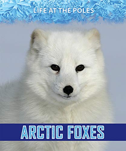 N
N
-
Zoom in on Water and Sewage Systems
Kathy Furgang
Library Binding (Enslow Pub Inc, Aug. 15, 2017)Discusses sewage system and wastewater treatment plants, tracing where municipal water comes from and where it goes after it is used. M
M
-
Zoom in on Road Maps
Kathy Furgang
Paperback (Enslow Publishing, Jan. 15, 2018)This informative book helps students learn to follow a road map, including using the grid system, legend, and compass rose. Students are also taught to understand and use a scale on a map. Each topic arms students with useful knowledge about reading road maps. A follow-up activity encourages readers to use a map to write directions for a friend.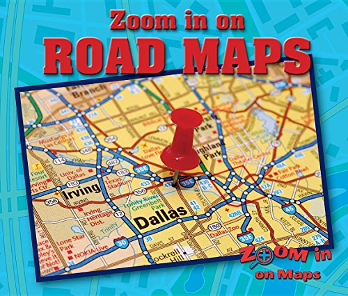 J
J
-
Zoom in on Satellite and Street Maps
Kathy Furgang
Library Binding (Enslow Pub Inc, Jan. 15, 2018)This visual and instructive look at satellite maps and street maps helps readers understand the symbols, road markings, and land features of these types of maps. Concentration on a smaller area helps readers really study them carefully. A follow-up activity encourages readers to draw their own street map of their town or neighborhood. G
G
-
Zoom in on Political Maps
Kathy Furgang
Paperback (Enslow Publishing, Jan. 15, 2018)Where does Illinois end and Indiana begin? How do you know you are not entering Kentucky or Missouri instead? This informative look at political maps helps readers understand the symbols used for understanding political maps, including political borders and national and state capitals. Election maps and agricultural maps will also be explored as students analyze them for the information they provide. A follow-up activity leads students to make their own election map and write questions about it.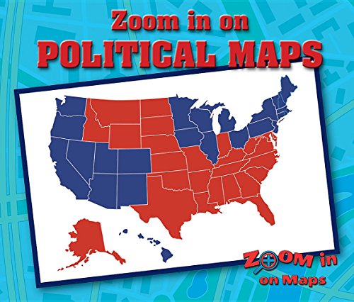 M
M
-
21st Century Bridges
Kathy Furgang
Paperback (Enslow Publishing, Aug. 15, 2018)One of the most important things about living in today's modern world is the ability to travel. Bridges are one of the most important aspects of our modern transportation system. Since the beginning of civilizations, simple bridges have been used to get people over rivers, across valleys, and even across mountains. Today, technology allows engineers to design the most amazing architectural marvels in the world. This resource explores the fascinating history of bridge building and focuses on the engineering accomplishments that will allow safe and sustainable transportation today and far into the future. W
W
-
Zoom in on Topographic Maps
Kathy Furgang
Library Binding (Enslow Publishing, Jan. 15, 2018)You are planning a huge bike trip, so how can you find out where the mountains and flat lands are? Zoom in on a topographic map to find out. This graphic-heavy and instructive book introduces the reader to the basics of using topographic maps. They are introduced to the way elevations and contours of the land are shown on maps, and how to read the details shown on these maps. A follow-up activity encourages readers to use a contour map to plan a camping trip.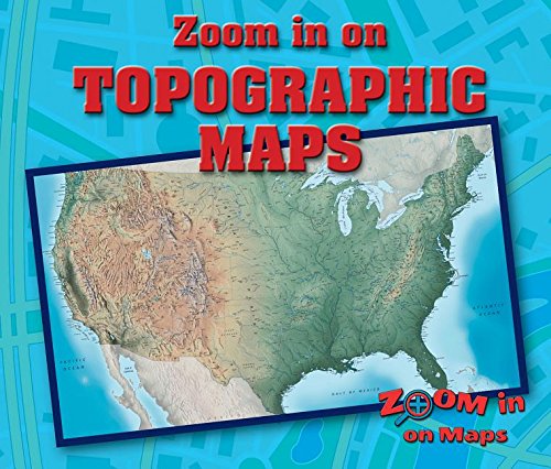 M
M
-
Let's Take a Field Trip to a Beehive
Kathy Furgang
Library Binding (Powerkids Pr, Jan. 1, 2003)Describes how bees live together in colonies, how they make honey, find food, and communicate, and explains why bees are important to flowers and humans.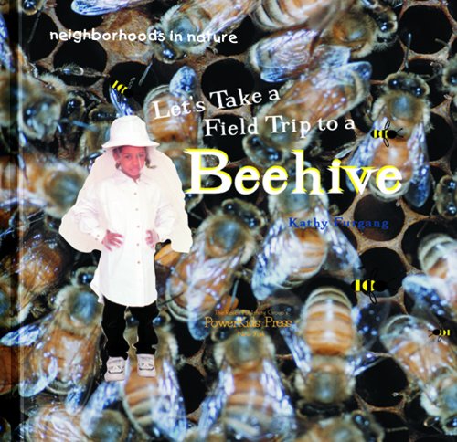 N
N
-
Bethany Mota: Style Icon with More Than 900 Million Views
Kathy Furgang
Hardcover (Rosen Central, Aug. 15, 2019)Why follow young YouTuber Bethany Mota as she puts on her makeup, shows her new fashion purchases, and discusses the contents of her purse? Because Mota is one of today's most successful and influential internet celebrities. She has more than 10 million followers on YouTube and more than 5 million on Instagram. This insightful and inspiring account of Mota's rise to fame includes how her experiences being bullied as a pre-teen led to her eventual influence on today's business model of online advertising and branding. T
T
-
Zoom in on Climate Maps
Kathy Furgang
Paperback (Enslow Pub Inc, Jan. 15, 2018)Describes the features of climate maps, some of the different types, and what the maps are used for. J
J
