Age
8-11
Grade
3-5
Rebecca E. Hirsch
Using Political Maps
Library Binding
(Lerner Publications Aug. 1, 2016)
Ever wonder what the capital of Alaska is? Or how many states share a border with New York? Political maps show state and national boundaries. They include major cities and places created by people. But how do you use political maps? And what map features help you answer geographical questions? Read on to become a map genius!
- Series
- Searchlight Books TM _ What Do You Know about Maps?
- ISBN
- 1512409472 / 9781512409475
- Pages
- 40
- Weight
- 13.4 oz.
- Dimensions
- 7.2 x 0.5 in.
Enjoy reading Using Political Maps? You may also like these books
-
T

Rebecca E. Hirsch
Garfield's ® Almost-as-Great-as-Lasagna Guide to Science
Paperback (Lerner Publications TM Aug. 1, 2019) -
Q
Rebecca E. Hirsch
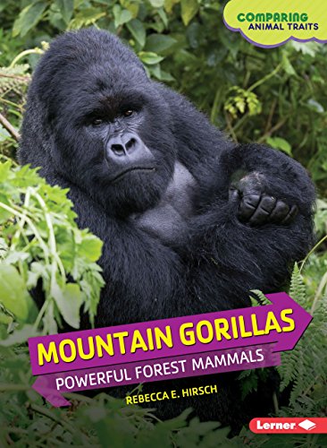
Mountain Gorillas: Powerful Forest Mammals
Paperback (LernerClassroom Jan. 1, 2015) -
S
Rebecca E. Hirsch
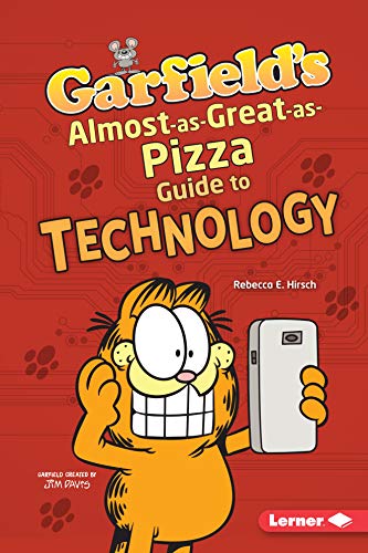
Garfield's ® Almost-as-Great-as-Pizza Guide to Technology
Paperback (Lerner Publications TM Aug. 1, 2019) -
S

Rebecca E. Hirsch
Garfield's ® Almost-as-Great-as-Doughnuts Guide to Math
Paperback (Lerner Publications TM Aug. 1, 2019) -
S

Rebecca E. Hirsch
Garfield's ® Almost-as-Great-as-Naps Guide to Engineering
Paperback (Lerner Publications TM Aug. 1, 2019) -
R

Rebecca E. Hirsch
Exploding Ants and Other Amazing Defenses
Paperback (LernerClassroom Jan. 1, 2017) -
S

Rebecca E. Hirsch
Climate Migrants: On the Move in a Warming World
Library Binding (Twenty-First Century Books (CT) Aug. 1, 2016) -
S

Rebecca E. Hirsch
The Human Microbiome: The Germs That Keep You Healthy
Library Binding (Twenty-First Century Books (CT) Aug. 1, 2016) -
R

Rebecca E. Hirsch
Thousand-Mile Fliers and Other Amazing Migrators
Library Binding (Lerner Publications TM Jan. 1, 2017) -
Q

Rebecca E. Hirsch
Humpback Whales: Musical Migrating Mammals
Paperback (LernerClassroom Jan. 1, 2015) -
Q

Rebecca E. Hirsch
Komodo Dragons: Deadly Hunting Reptiles
Library Binding (Lerner Publications TM Aug. 1, 2015)