
National Geographic Maps - Trails Illustrated
Glacier and Waterton Lakes National Parks
Map
(National Geographic Maps Jan. 1, 2009)
, 2009 edition
• Waterproof • Tear-Resistant • Travel Map
In 1932, the United States and Canada created the world's first International Peace Park by joining together Glacier National Park in Montana and Waterton Lakes National Park in Canada as Waterton-Glacier International Peace Park. The three map set of the Glacier and Water Lakes National Parks Map Pack Bundle cover the peace park in great detail. Two of the maps cover the much larger Glacier National Park while a single detailed map covers Water Lakes National Park. All three maps show the dramatic landscapes of glacial carved valleys and peaks in great detail. The maps include snow and water hazards as well as a complete trail network with backcountry camp sites clearly shown.Buy the Map Pack and save 15%!
The Glacier and Waterton Lakes National Parks Map Pack includes:
- Map 313 :: North Fork: Glacier National Park
- Map 314 :: Many Glacier: Glacier and Waterton Lakes National Parks
- Map 315 :: Two Medicine: Glacier National Park
- Map Scale = 1:50,000
- Sheet Size = 37.75" x 25.5"
- Folded Size = 4" x 7.5"
- Series
- National Geographic Trails Illustrated Map
- ISBN
- 1597753998 / 9781597753999
- Pages
- 6
- Weight
- 5.6 oz.
- Dimensions
- 4.0 x 0.3 in.
Enjoy reading Glacier and Waterton Lakes National Parks? You may also like these books
-
National Geographic Maps - Trails Illustrated
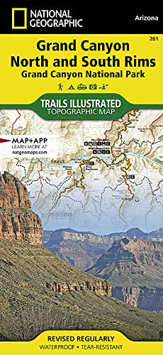
Grand Canyon, North and South Rims
Map (National Geographic Maps Sept. 16, 2016) -

National Geographic Maps - Trails Illustrated
Yellowstone and Grand Teton National Parks
Map (National Geographic Maps May 19, 2010) -
National Geographic Maps - Trails Illustrated
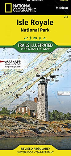
Isle Royale National Park
Map (National Geographic Maps Jan. 1, 2006) -

National Geographic Maps - Trails Illustrated
North Cascades National Park
Map (National Geographic Maps Jan. 1, 2006) -

National Geographic Maps - Trails Illustrated
Springer and Cohutta Mountains
Map (National Geographic Maps Jan. 1, 2009) -

National Geographic Maps - Trails Illustrated
Appalachian Trail, Damascus to Bailey Gap
Map (National Geographic Maps Oct. 23, 2015) -

National Geographic Maps - Trails Illustrated
Saguaro National Park
Map (National Geographic Maps July 11, 2014) -
National Geographic Maps - Trails Illustrated
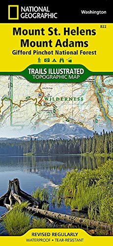
Mount St. Helens, Mount Adams
Map (National Geographic Maps Jan. 1, 2010) -

National Geographic Maps - Trails Illustrated
Adirondack Park
Map (National Geographic Maps Jan. 1, 2013) -

National Geographic Maps - Trails Illustrated
Haleakala National Park
Map (National Geographic Maps Jan. 1, 2000) -

National Geographic Maps - Trails Illustrated
Appalachian Trail, Davenport Gap to Damascus
Map (National Geographic Maps Sept. 25, 2015) -

National Geographic Maps - Trails Illustrated
Appalachian Trail, Delaware Water Gap to Schaghticoke Mountain
Map (National Geographic Maps Sept. 24, 2015) -

National Geographic Maps - Trails Illustrated
Pacific Crest Trail, Washington North
Map (National Geographic Maps Jan. 24, 2019) -

National Geographic Maps - Trails Illustrated
Colorado 14ers North
Map (National Geographic Maps March 3, 2017) -

National Geographic Maps - Trails Illustrated
Pacific Crest Trail: San Jacinto and Laguna Mountains
Map (National Geographic Maps Sept. 16, 2019) -

National Geographic Maps - Trails Illustrated
Colorado 14ers South
Map (National Geographic Maps March 22, 2017)