Richard Panchyk
Charting the World: Geography and Maps from Cave Paintings to GPS with 21 Activities
As soon as early humans began to scratch images on cave walls, they began to create maps. And while these first drawings were used to find hunting grounds or avoid danger, they later developed into far more complex navigational tools. Charting the World tells the fascinating history of maps and mapmaking, navigators and explorers, and the ways that technology has enhanced our ability to understand the world around us. Richly illustrated with full-color maps and diagrams, it gives children an in-depth appreciation of geographical concepts and principles and shows them how to unlock the wealth of information maps contain. It also features 21 hands-on activities for readers to put their new skills to the test.
Children will: build a three-dimensional island model using a contour map, engrave a simple map on an aluminum “printing plate,” determine the elevation of hills in their neighborhood, draw a treasure map and have a friend search for the hidden stash, create a nautical chart of a small puddle, survey their backyard or local park, navigate a course using a compass, and much more.
Now more than ever, the study of geography is crucial to understanding our ever-changing planet, from political change and warfare to environmental conservation and population growth.
- Series
- For Kids series
- ISBN
- 1569763445 / 9781569763445
- Pages
- 144
- Weight
- 17.28 oz.
- Dimensions
- 11.0 x 0.4 in.
Enjoy reading Charting the World: Geography and Maps from Cave Paintings to GPS with 21 Activities? You may also like these books
-
U

Lee Strobel, Robert Suggs, Robert Elmer
Case for a Creator for Kids
Paperback (Zonderkidz May 24, 2010) -
U
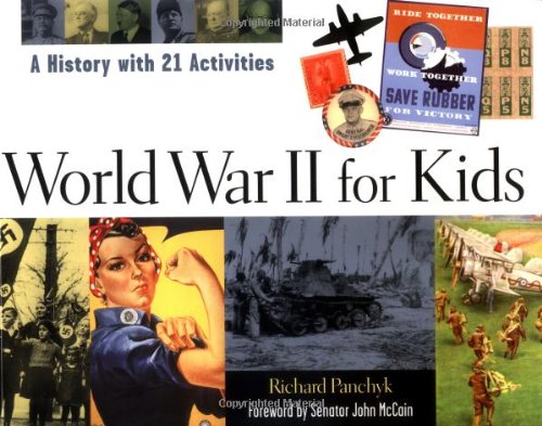
Richard Panchyk, Senator John McCain
World War II for Kids: A History with 21 Activities
Paperback (Chicago Review Press Sept. 1, 2002) -
W
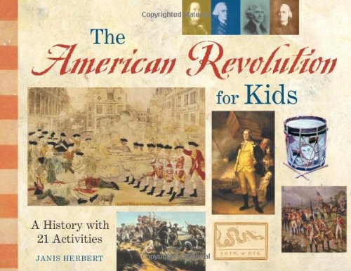
Janis Herbert
The American Revolution for Kids: A History with 21 Activities
Paperback (Chicago Review Press Sept. 1, 2002) -
W

Karen Bush Gibson
Native American History for Kids: With 21 Activities
Paperback (Chicago Review Press July 1, 2010) -
W

Nancy I. Sanders
America's Black Founders: Revolutionary Heroes & Early Leaders with 21 Activities
Paperback (Chicago Review Press Jan. 1, 2010) -
V

Katy S. Duffield
California History for Kids: Missions, Miners, and Moviemakers in the Golden State, Includes 21 Activities
Paperback (Chicago Review Press Jan. 1, 2012) -
W

Josh Hestermann, Bethanie Hestermann, The Kratt Brothers
Zoology for Kids: Understanding and Working with Animals, with 21 Activities
Paperback (Chicago Review Press March 1, 2015) -
W

Jerome Pohlen
The Apollo Missions for Kids: The People and Engineering Behind the Race to the Moon, with 21 Activities
Paperback (Chicago Review Press June 4, 2019) -
T

Richard Panchyk
Archaeology for Kids: Uncovering the Mysteries of Our Past, 25 Activities
Paperback (Chicago Review Press Oct. 1, 2001) -
U

Janis Herbert
The Civil War for Kids: A History with 21 Activities
Paperback (Chicago Review Press Nov. 1, 1999) -
W

Karen Bush Gibson
Texas History for Kids: Lone Star Lives and Legends, with 21 Activities
Paperback (Chicago Review Press Feb. 1, 2015) -
W
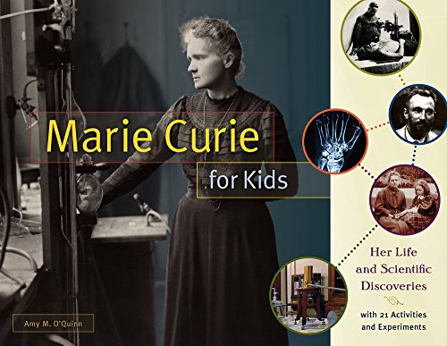
Amy M. O'Quinn
Marie Curie for Kids: Her Life and Scientific Discoveries, with 21 Activities and Experiments
Paperback (Chicago Review Press Nov. 1, 2016) -
W

Amy M. O'Quinn
Nikola Tesla for Kids: His Life, Ideas, and Inventions, with 21 Activities
Paperback (Chicago Review Press July 9, 2019) -
U
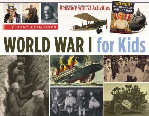
R. Kent Rasmussen
World War I for Kids: A History with 21 Activities
Paperback (Chicago Review Press April 1, 2014) -
T

Jerome Pohlen
Albert Einstein and Relativity for Kids: His Life and Ideas with 21 Activities and Thought Experiments
Paperback (Chicago Review Press Oct. 1, 2012) -
W

Peggy Thomas
George Washington Carver for Kids: His Life and Discoveries, with 21 Activities
Paperback (Chicago Review Press Jan. 8, 2019) -
W
Pat McCarthy
Heading West: Life with the Pioneers, 21 Activities
Paperback (Chicago Review Press Aug. 1, 2009) -
X

Jean Daigneau
Code Cracking for Kids: Secret Communications Throughout History, with 21 Codes and Ciphers
Paperback (Chicago Review Press Oct. 1, 2019)