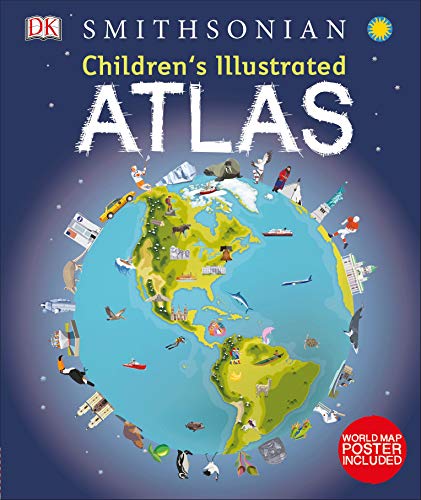
-
Children's Illustrated Atlas
DK, Smithsonian Institution
Hardcover (DK Children, Aug. 16, 2016)You’ve got the whole world in your hands with the most amazing atlas around.This incredible and inspiring visual guide to the continents and countries takes you on a wonderful tour of planet Earth. From Australia to Zimbabwe, each and every place is brought to life with stunning photography and eye-catching illustrations to encapsulate the geography, landscape, culture, history, and special features. More than 50 breathtaking maps are packed with fun and fresh images accompanied by information about climate, population, star sites, mountains, rivers, and wildlife. Accompanying keys focus on the main produce, exports, industries, and activities. As well as learning a wealth of information about our world today, the Children's Illustrated Atlas shows young adventurers how to read a map and use a key, compass, and scale. There is room in every children’s library for this absolutely essential addition. What in the world are you waiting for? Y
Y
-
Children's Illustrated Atlas
DK
Hardcover (DK Children, Aug. 16, 2016)Bring geography to life and explore the countries of the world like never before with DK's Children's Illustrated Atlas.Featuring approximately 50 unique maps of the world that show each country in full-color detail, this new atlas is bursting with information, combining colorful icons with photographs representing key points about each country. Young adventurers ages 8-12 will start by learning the fundamentals of reading a map by using a key, compass, and scale, and will progress to discovering fascinating trivia about all the countries of the world, from the United States to Ukraine and Turkey to Taiwan. Bite-size facts and figures that cover a variety of topics such as climates, population, mountains and rivers, and politics in different continents help support school curriculum and make this a perfect book for the classroom.With an engaging infographic design and easy to understand layout and text, the Children's Illustrated Atlas will get the most reluctant explorer learning about the world outside of their own experience. Y
Y