-
Children's Illustrated Atlas
DK, Smithsonian Institution
Hardcover (DK Children, Aug. 16, 2016)You’ve got the whole world in your hands with the most amazing atlas around.This incredible and inspiring visual guide to the continents and countries takes you on a wonderful tour of planet Earth. From Australia to Zimbabwe, each and every place is brought to life with stunning photography and eye-catching illustrations to encapsulate the geography, landscape, culture, history, and special features. More than 50 breathtaking maps are packed with fun and fresh images accompanied by information about climate, population, star sites, mountains, rivers, and wildlife. Accompanying keys focus on the main produce, exports, industries, and activities. As well as learning a wealth of information about our world today, the Children's Illustrated Atlas shows young adventurers how to read a map and use a key, compass, and scale. There is room in every children’s library for this absolutely essential addition. What in the world are you waiting for?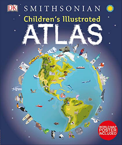 Y
Y
-
Children's Illustrated Animal Atlas
DK
Hardcover (DK Children, Aug. 8, 2017)Bring the amazing animal kingdom right into your home! Packed with fun facts about animals and more than 40 full-color maps that detail the countries where they live.This fabulous educational book for kids zooms-in on countries and continents to show key animal habitats and locations around the world. A thrilling animal adventure around the globe, perfect for kids ages 6–8.Each colorful map in this children's book is bursting with animal facts, combining illustrations with gorgeous photographs that highlight each continent's most iconic animals. From the tallest mountains and desolate deserts to wild grasslands and tropical rain forests; it covers key habitats and locations for each country.Packed with tons of fun facts and figures, the Children's Illustrated Animal Atlas explains where these hidden habitats are found and what the local climate is like. Find descriptions and illustrations of the plants and animals that live in them, making the information easy for kids to comprehend.This children's atlas also includes a super awesome, colorful world map pull-out poster showing every corner of the world and animals that live in each country. Through this educational atlas, children are shown how to read a map, use a map key, follow a compass, and how to judge scale and distance.Charming and informative, this kids' atlas is a delightful addition to every child's library.Take A Thrilling Animal Adventure Around The Globe!An enchanting atlas, packed full of fascinating facts and more than 600 incredible animals. From polar bears in the frozen north to thorny devils in the Australian outback and to toucans in the Amazon rain forest, this fact book will bring the world of Earth's wildlife right into your home!Some of the amazing animals you can expect to encounter: - Emu - Australia's largest bird- Giant hummingbird - the biggest of its kind in the whole world- Cheetah - the world's fastest land animal- Ploughshare tortoise - males try to flip each other over during fights (talk about fighting dirty!)- And much, much more!The Children's Illustrated series brings a whole host of educational subjects and general knowledge to life in full living color. Detailed drawn pictures, photographs, and images teach your child about History, Language, Geography, and more. Get a copy of the Children's Illustrated Animal Atlas or any of the other wonderful titles and start your collection.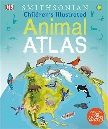 U
U
-
Children's Illustrated World Atlas
DK
Hardcover (DK Children, July 4, 2017)A visual atlas that brings the world and its people to life with modern mapping, pictures, facts, and stories, perfect for kids ages 8-12, and fully revised and updated.Using modern mapping based on the latest seamless, cloud-free satellite image data, Children's Illustrated World Atlas takes kids on the ultimate round-the-world trip, from the Americas to Australasia and Oceania.Each detailed map is accompanied by pictures and stories that explore the society, culture, and history of each region, giving young readers an immediate sense of place not conveyed in standard atlases. Bite-size, country-by-country facts and stats are included at the start of each chapter for additional knowledge, and a place-name index identifies 7,500 locations around the world. Kids will even learn about popular discussion topics such as globalization and the environment in a contemporary introduction section.Together with facts, maps, satellite images, and local stories, this fully updated and revised Children's Illustrated World Atlas is a global yet personal experience and brings together views from all over the world—from Bolivia's bustling markets to carnival in Venice. Y
Y
-
Children's Illustrated History Atlas
DK
Hardcover (DK Children, Aug. 7, 2018)Learn about incredible world history in this first-ever history atlas for children ages 7-9.Young history buffs will love this time-traveling adventure! This beautiful history atlas helps children learn about world history, all the way from the first humans leaving Africa right up to how the world looks now, with a modern world map. Journey around the world as you learn its history, with maps showing everything from the awe-inspiring Great Wall of China to the when and how of the Civil War.This amazing illustrated atlas brings history to life. It is packed with more than 40 colorful historical maps and fascinating nuggets of information about our past. Children are shown how to read a map and how to use a key, compass, and scale. Each map is bursting with information, such as how big the Roman Empire was, how explorers made incredible journeys around the world, and when humans first traveled into space. This charming and informative history atlas is a key addition to every child's library. Y
Y
-
Children's Illustrated Atlas
DK
Hardcover (DK Children, Aug. 16, 2016)Bring geography to life and explore the countries of the world like never before with DK's Children's Illustrated Atlas.Featuring approximately 50 unique maps of the world that show each country in full-color detail, this new atlas is bursting with information, combining colorful icons with photographs representing key points about each country. Young adventurers ages 8-12 will start by learning the fundamentals of reading a map by using a key, compass, and scale, and will progress to discovering fascinating trivia about all the countries of the world, from the United States to Ukraine and Turkey to Taiwan. Bite-size facts and figures that cover a variety of topics such as climates, population, mountains and rivers, and politics in different continents help support school curriculum and make this a perfect book for the classroom.With an engaging infographic design and easy to understand layout and text, the Children's Illustrated Atlas will get the most reluctant explorer learning about the world outside of their own experience. Y
Y
-
Children's Illustrated History Atlas
DK
eBook (DK Children, Aug. 2, 2018)Bring history to life with more than 40 colourful maps in this children's atlas full of fascinating nuggets of information about our past.This beautiful history atlas helps children learn about world history all the way from the first people leaving Africa right up to how the world looks now, with a modern world map. Journey around the world as you learn its history, with maps showing everything from the awe-inspiring Great Wall of China to the when and how of the US Civil War. Children are shown how to read a map and how to use a key, compass, and scale. Each map is bursting with information, such as how big the Roman Empire was, how explorers made incredible journeys around the world, and when humans first travelled into space. Children's Illustrated History Atlas is an essential addition to every child's library and includes a beautiful illustrated poster.Young history buffs will love this time-travelling adventure. Y
Y
-
Children's Illustrated Bible Atlas
Anonymous
Hardcover (W.H. Allen / Virgin Books, March 15, 1979)None
-
Children's Illustrated World Atlas
Kathleen Baker Dr.
Hardcover (Penguin Random House, July 3, 2017)The stunning Children's Illustrated World Atlas takes young readers on the ultimate round-the-world trip. It not only portrays regions such as the Siberian wastes with a beautifully detailed map, it also shows and tells you what it is like to roam across them as a Nenets reindeer herder. Using stunning modern mapping, based on the latest seamless, cloud-free satellite image data together with facts, maps, satellite images, and local stories, this atlas is a global yet personal experience. From Bolivia's bustling markets to carnival in Venice, the Children's Illustrated World Atlas brings together views from windows all over the world.
-
Children's Illustrated Atlas
Howard Hughes
Hardcover (DK Children, March 15, 2001)Children's Illustrated AtlasDK's Children's Illustrated Atlas brings geography to life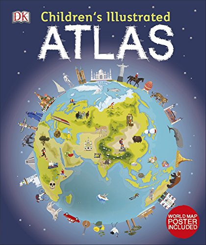
-
The Children's Illustrated World Atlas
Molly Perham, Philip Steele
Hardcover (Courage Books, Sept. 1, 1993)Contains excellent, detailed, and up-to-date maps accompanied by "Fascinating Facts" panels and special sections that offer data on population, wildlife, capitals, resources, and more. N
N
-
Children's Illustrated Atlas
Elizabeth Wyse
Hardcover (Dorling Kindersley Publishers Ltd, )None