-
The Everything Kids' Geography Book: From the Grand Canyon to the Great Barrier Reef - explore the world!
Jane P Gardner, J. Elizabeth Mills
Paperback (Everything, Jan. 17, 2009)From North America's mountains to Africa's deserts, this book will help kids learn the locations of states, countries, and continents around the world. They will also learn about the features that make up each region, including:What's growing in the Amazon Rainforest;The longest river in the world - the Nile in Africa;The "frozen Ts" of Asia - the tundra and the taiga;Shelves of ice in Antarctica;The uniqueness of the Australian Outback;And more! With exciting puzzles and activities, this book is a great tool for teachers and parents who want to make learning fun for kids. Before long, young readers will be reading maps and navigating tough terrain like bona fide geographers! T
T
-
Where on Earth? Atlas: The World As You've Never Seen It Before
DK
Hardcover (DK Children, March 28, 2017)A vivid showcase of the most fascinating places on the planet through a collection of more than 75 3D maps that show not only where everything is, but also why it is there.Marvel at the world's tallest buildings, find out where earthquakes are most likely to occur, and where you can find super cool, luminescent critters! This kid's atlas is divided into six chapters you can’t help but get lost in.Where on Earth? is an educational book for kids that brings instant understanding to a plethora of fascinating subjects, stimulating interest in the world around us and drawing young readers into its pages and the topics they cover. Take a tour of planet Earth learning about what's where in the worlds of engineering and technology, art and culture, history, nature, Earth science, and human populations.Find out where the world’s the most incredible dive spots are situated, exploring the wreckages of history’s long-lost sunken ships, and where to go if you want to scratch a whale's tongue! Discover Olympic cities, the Seven Wonders of the World, impressive physical geography, and the habitats of Earth’s big cats. Every map contains fact panels that provide additional information and useful statistics, while focus features pull out and explain the most interesting facets for an even richer experience.Explore The World – Learn In Spectacular Detail!A fantastically fresh way of presenting geographical knowledge. The graphics are incredibly rich and detailed, and packed with fun facts about the world. It is easy to spend hours getting lost in these pages. This fascinating fact book engages wide range of subjects including:- Geography- Nature- People- History- Arts - Entertainment- Science - Technology It is the perfect kid’s educational book for school projects or simply for satisfying curiosity about the big beautiful world around us.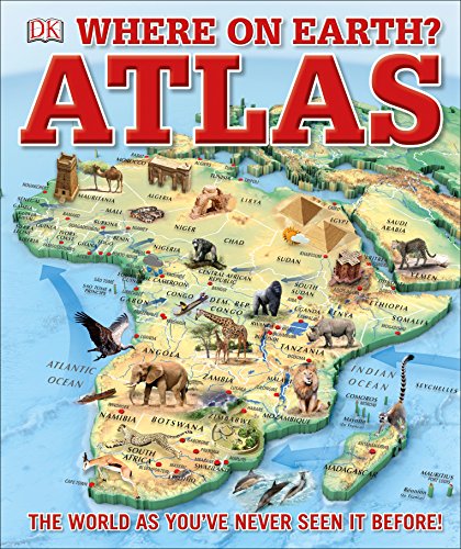 X
X
-
Horrible Geography 12 Book Box
Anita Ganeri
Paperback (Scholastic, Feb. 6, 2014)Horrible Geography is a series of children non-fiction books designed to get children interested in geography by concentrating on insignificant, surprising, savage or unpleasant. Horrible Geography Collection 12 Books Box Set Titles in This Set Bloomin Rainforests, Cracking Coast, Desperate Deserts, Earth-Shattering Earthquakes, Freaky Peaks, Monster Lakes, Odious Oceans, Perishing Poles, Raging Rivers, Stormy Weather, Violent Volcanoes, Wild Islands.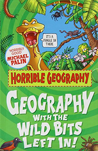
-
National Geographic Student World Atlas
National Geographic Kids
Paperback (National Geographic Children's Books, July 9, 2019)The new fifth edition of National Geographic's award-winning atlas is more fascinating and fact-filled than ever! It's the definitive atlas for middle and high-school students to explore and use in the classroom, college prep, and at home.From the cartographic experts at National Geographic comes the latest edition of its award-winning student atlas, with everything kids want and need to know about our changing world. Dynamic, user-friendly content includes photos, facts, charts, graphics, and full-color political, physical, and thematic maps on important topics. Completely updated maps and statistics ensure that kids have all the latest information as they learn more about current events and become global citizens.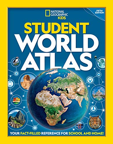 V
V
-
Children's Illustrated Atlas
DK, Smithsonian Institution
Hardcover (DK Children, Aug. 16, 2016)You’ve got the whole world in your hands with the most amazing atlas around.This incredible and inspiring visual guide to the continents and countries takes you on a wonderful tour of planet Earth. From Australia to Zimbabwe, each and every place is brought to life with stunning photography and eye-catching illustrations to encapsulate the geography, landscape, culture, history, and special features. More than 50 breathtaking maps are packed with fun and fresh images accompanied by information about climate, population, star sites, mountains, rivers, and wildlife. Accompanying keys focus on the main produce, exports, industries, and activities. As well as learning a wealth of information about our world today, the Children's Illustrated Atlas shows young adventurers how to read a map and use a key, compass, and scale. There is room in every children’s library for this absolutely essential addition. What in the world are you waiting for?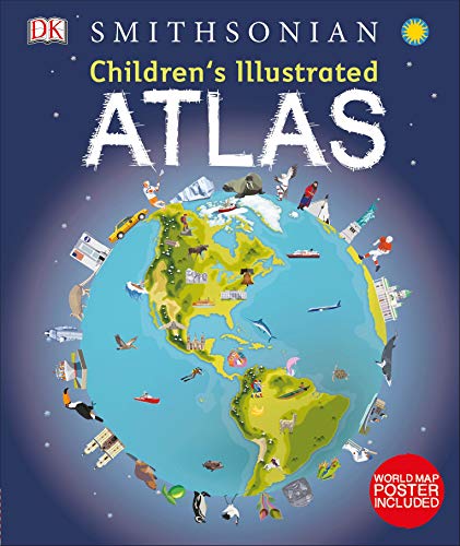 Y
Y
-
Geography: A Visual Encyclopedia
DK
Paperback (DK Children, June 17, 2013)Created in conjunction with the Smithsonian Institution, Geography: A Visual Encyclopedia explores every aspect of our world, from the North to the South Pole, and from the outer atmosphere to the fiery core and from natural processes to human impact. Discover terrifying earthquakes, priceless gemstones, and storms that can destroy buildings. Understand how weather works, what causes the seasons, and the power of water to shape the landscape. Explore life on Earth, and countries and cultures from all around the world. Packed with facts, maps, explanations, illustrations, and photographs, Geography: A Visual Encyclopedia is the ultimate guide to our planet.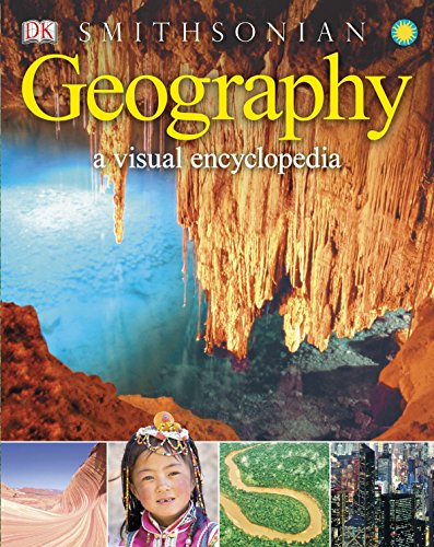 U
U
-
Maps
Aleksandra Mizielinska, Daniel Mizielinski
Hardcover (Big Picture Press, Oct. 8, 2013)Travel the world without leaving your living room.This book of maps is a visual feast for readers of all ages, with lavishly drawn illustrations from the incomparable Mizielinskis. It features not only borders, cities, rivers, and peaks, but also places of historical and cultural interest, eminent personalities, iconic animals and plants, cultural events, and many more fascinating facts associated with every region of our planet.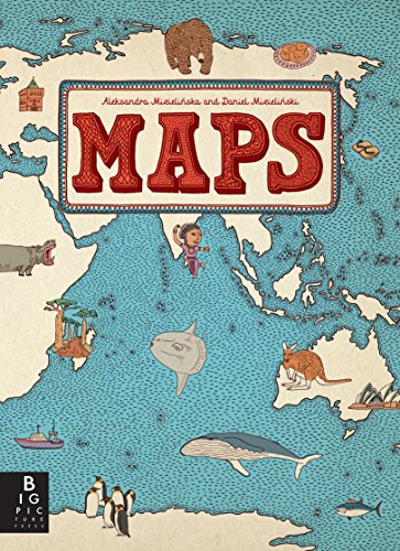 R
R
-
National Geographic Kids Beginner's World Atlas
None
Hardcover (National Geographic Children's Books, Feb. 22, 2011)Jam packed with the latest data, bright, bold images, large maps, a brand-new design, and lively information about the world’s land, people, and animals, the third edition Beginner’s World Atlas will be the most up-to-date world reference for kids ages 5–8. True to National Geographic’s reputation and legacy, we’ve created this atlas with the same care and attention to detail as our renowned adult atlases. “No one does maps or atlases with as much panache and knowledge as National Geographic,” said the Washington Post.With completely up-to-date facts-at-a-glance, a glossary, pronunciation guide, and comprehensive index, this completely revised atlas takes young readers on a high-energy tour of the world and will be a must-have in every home and school. Vibrant color, fresh design, amazing photography, and new icons will help kids quickly identify information related to land, plants, animals, languages and culture, and all aspects of the physical and political world. Parents and teachers will appreciate the front matter with information for children about maps and how to use the atlas.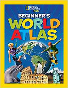 V
V
-
Know Geography™ World Atlas Grades 4-9
Rand McNally
Perfect Paperback (Rand McNally, Jan. 30, 2018)Does your child know geography? Rand McNally, the country's most trusted source for maps and atlases, just released Know GeographyTM a world atlas series created to ensure that your child knows geography!Know GeographyTM, is a grade leveled series of world atlases, designed to help students master essential map skills and gain a firm geographic understanding of their world. Inspired by Rand McNally's award-winning Classroom Atlas this World Atlas for grades 4-9 is packed with maps, photos, infographics, critical-thinking questions and brain teasers designed to reinforce and further develop map skills and build global competency. World Atlas Grades 4-9, features: 200 pages clearly organized by continent Over 100 physical, political, and thematic maps Expanded section on the United States Dimensions: 8.5 x 10.875 , Perfect Bound, 208 pages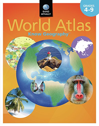
-
Prisoners of Geography: Ten Maps That Explain Everything About the World
Tim Marshall
Hardcover (Scribner, Oct. 27, 2015)In the bestselling tradition of Why Nations Fail and The Revenge of Geography, an award-winning journalist uses ten maps of crucial regions to explain the geo-political strategies of the world powers.All leaders of nations are constrained by geography. Their choices are limited by mountains, rivers, seas, and concrete. To understand world events, news organizations and other authorities often focus on people, ideas, and political movements, but without geography, we never have the full picture. Now, in the relevant and timely Prisoners of Geography, seasoned journalist Tim Marshall examines Russia, China, the USA, Latin America, the Middle East, Africa, Europe, Japan and Korea, and Greenland and the Arctic—their weather, seas, mountains, rivers, deserts, and borders—to provide a context often missing from our political reportage: how the physical characteristics of these countries affect their strengths and vulnerabilities and the decisions made by their leaders. In ten, up-to-date maps of each region, Marshall explains in clear and engaging prose the complex geo-political strategies of these key parts of the globe. What does it mean that Russia must have a navy, but also has frozen ports six months a year? How does this affect Putin’s treatment of the Ukraine? How is China’s future constrained by its geography? Why will Europe never be united? Why will America never be invaded? Shining a light on the unavoidable physical realities that shape all of our aspirations and endeavors, Prisoners of Geography is the critical guide to one of the major (and most often overlooked) determining factors in world history.
-
Know Geography™ World Atlas Grades 9-12
Rand McNally
Perfect Paperback (Rand McNally, Jan. 30, 2018)Does your child know geography? Rand McNally, the country's most trusted source for maps and atlases, just released Know GeographyTM a world atlas series created to ensure that your child knows geography!Know GeographyTM, is a grade leveled series of world atlases, designed to help students master essential map skills and gain a firm geographic understanding of their world. Engaging and richly illustrated geographic information developed from Rand McNally's award-winning Atlas of World Geography presents a more complete portrait of our physical and political world for older children. Includes glossary of foreign terminology plus comprehensive index to enrich and maximize use of maps.World Atlas Grades 9-12, features: Updated Countries section including flag, capital city, area and population 85 pages of detailed physical and political maps 35 pages of human and physical world geography maps, graphs, charts, including information on plate tectonics, climate, environments, population and economics Special continent sections exploring landforms, land cover and use, climate, and continent specific issues and current events Dimensions: 8.5 x 10.875 - Perfect Bound - 176 pages
-
Geography of the World: The Essential Family Guide to Geography and Culture
DK
Paperback (DK Children, Aug. 21, 2006)A guide to countries and continents in today's rapidly changing world.• Clear, country-by-country layout makes this an ideal reference book for use at home and at school.• Fact boxes provide at-a-glance information on each country's population, language, religion, government, currency, and more.• More than 60 large-scale, three-dimensional maps, 900 superb photographs, and 500 detailed artworks, charts, and diagrams bring the countries of the world to life.• Researched, authenticated, and updated by a team of specialists in human and physical geography and international affairs. Z
Z
-
The 50 States: Explore the U.S.A. with 50 fact-filled maps!
Gabrielle Balkan, Sol Linero
Hardcover (Wide Eyed Editions, Oct. 1, 2015)A 2016 Notable Social Studies Trade Book for Young People (National Council for the Social Studies-Children's Book Council)In 51 charmingly illustrated infographic maps, explore every state of the USA from Alabama to Wyoming and the nation’s capital to discover more than 2,000 facts that celebrate the people, cities, nature, and historic events that have helped make America what it is today. You'll also get an expansive guide to the state flags and US presidents. Ghost towns, swamp tours, the center of the universe…bacon donuts, brainy berries, salmon jerky…The French Fry King, The Mother of Oregon, The Queen of Blues…be inspired by the inventiveness, beauty, and diversity of the United States in this curious collection of fact-filled maps. On each wonderful map, find:A welcome box with a short introduction to the stateKey facts, including the capital; state bird, flower, and tree; and statehood orderState icons celebrating the state’s people, places, and historySix inspiring people who have a connection to the stateRegion spotlight bubbles to allow you to discover more about one particular placeA moments to remember box with a list of significant dates and their events in the state’s historyEach state’s map also contains information about which states it neighbors, its bodies of water and borders, as well as where it is situated in the country. Did you know that while Hawaii shares its border with no one, both Missouri and Tennessee border eight other states? Many state parks, battlefields, national forests, and reservations are also included to inspire you to respect and explore the great outdoors. So pack your bags and say later ‘gator…the great States await! T
T
-
Elementary Geography
Charlotte Mason, Amy M Edwards, Christina J Mugglin
Paperback (Blue Sky Daisies, March 31, 2016)Elementary Geography was originally written by educator Charlotte Mason in the 1880s, yet this beloved book for elementary-aged students still garners attention today. Blue Sky Daisies brings you the same classic book, completely re-typeset in a pleasing and fresh format.Miss Mason’s conversational tone teaches children about their world, from its place in the solar system to their place in its lands. Elementary Geography also includes over a dozen poetry selections throughout the book, chosen by Miss Mason to complement the chapter topics. Discover the planets and Earth’s continents, the changing seasons, latitude and longitude, map-making, topographical features such as mountains and valleys, rivers and straits, and more. Elementary Geography is often paired with Blue Sky Daisies' edition of Home Geography for Primary Grades, by C. C. Long. (Search for ISBN 978-1944435004 to find our edition.)
-
The Atlas Obscura Explorer’s Guide for the World’s Most Adventurous Kid
Dylan Thuras, Rosemary Mosco, Joy Ang
Hardcover (Workman Publishing Company, Sept. 18, 2018)New York Times bestseller!The Atlas Obscura Explorer’s Guide for the World’s Most Adventurous Kid is a thrilling expedition to 100 of the most surprising, mysterious, and weird-but-true places on earth. For curious kids, this is the chance to embark on the journey of a lifetime—and see how faraway countries have more in common than you might expect! Hopscotch from country to country in a chain of connecting attractions: Explore Mexico’s glittering cave of crystals, then visit the world’s largest cave in Vietnam. Peer over a 355-foot waterfall in Zambia, then learn how Antarctica’s Blood Falls got their mysterious color. Or see mysterious mummies in Japan and France, then majestic ice caves in both Argentina and Austria. As you climb mountains, zip-line over forests, and dive into oceans, this book is your passport to a world of hidden wonders, illuminated by gorgeous art.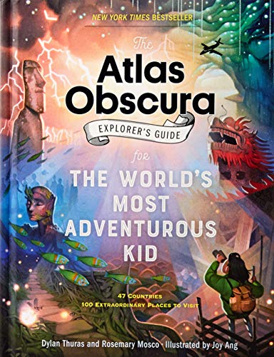 W
W
-
Everything & Everywhere: A Fact-Filled Adventure for Curious Globe-Trotters
Marc Martin
eBook (Chronicle Books LLC, Oct. 9, 2018)From Hong Kong to Reykjavík, Ulaanbaatar to New York City, enjoy a lush and unexpected journey around the world to discover what makes each place unique. Sleepy sloths, colorful cows, staggering skylines, terrible traffic—countless surprises await! All you need is a good guide and a little curiosity . . . so, what are you waiting for? Let's go! From award-winning author and illustrator Marc Martin comes a quirky, fact-filled adventure for curious globe-trotters, young and old. P
P
-
The Usborne Geography Encyclopedia: With Complete World Atlas
Gillian Doherty, Anna Claybourne, Susanna Davidson
Paperback (Usborne Pub Ltd, Jan. 1, 2010)A comprehensive encyclopedia for budding geologists as well as all middle readers includes a complete world atlas and is an ideal reference guide to the topography of the world. Original.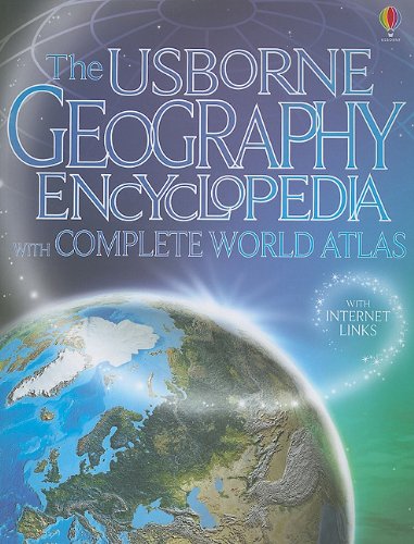 Z
Z
-
Where Is the Bermuda Triangle?
Megan Stine, Who HQ, Tim Foley
Paperback (Penguin Workshop, May 22, 2018)Who doesn't love a great mystery? This book presents the eerie accidents and unexplained disappearances that have occurred in the region known as the Bermuda Triangle.Even before it was named, the Bermuda Triangle--roughly bounded by Miami, Bermuda, and Puerto Rico--had gained a mythic reputation. The Bermuda Triangle became famous for making boats and ships vanish, and for snatching planes right out of the sky. But are these stories true? And if they are true, is there a more sensible reason that refutes the bad karma of the region? With so many mystifying events to learn about, readers will love disappearing into this story.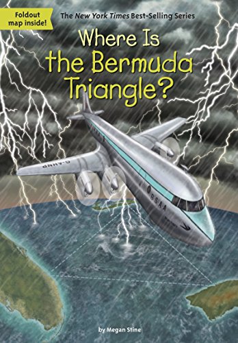 S
S
-
Where Is the Great Barrier Reef?
Nico Medina, Who HQ, John Hinderliter
Paperback (Penguin Workshop, Sept. 6, 2016)In this Where Is? title, kids can explore the Great Barrier Reef—big enough to be seen from space but made up of billions of tiny living organisms.The Great Barrier Reef, off the coast of Australia, is the world's largest coral reef system. Stretching more than 1,400 miles, it provides a home to a wide diversity of creatures. Designated a World Heritage Site, the reef is suffering from the effects of climate change but this fascinating book shows this spectacular part of our planet. W
W
-
Where Is the Great Wall?
Patricia Brennan Demuth, Who HQ, Jerry Hoare
Paperback (Penguin Workshop, Feb. 5, 2015)More than two thousand years ago, with his land under constant attack from nomads, the First Emperor of China came up with a simple solution: build a wall to keep out enemies. It was a wall that kept growing and growing. But its construction came at a huge cost: it is believed that more than a million Chinese died building it, earning the wall its nickname--the longest cemetery on earth. Through the story of the wall, Patricia Brennan Demuth is able to tell the story of China itself, the rise and fall of dynasties, the greatness of its culture, and its present-day status as a Communist world power.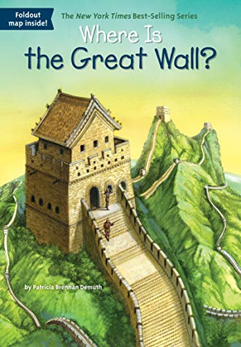 T
T
-
Seven Amazing Continents - Travel Dreams Geography - The Thinking Tree: World Geography & Social Studies The Creative Research Handbook for Library & Internet Based Learning
Sarah Janisse Brown, Serena Marie Lapointe, Feodor Zubrytsky, Elina Tarlavina
Paperback (CreateSpace Independent Publishing Platform, June 8, 2017)SALE! Normal Price $32.50! Seven Amazing Continents - Travel Dreams for World Geography and Social Studies, The Creative Research Handbook for Library & Internet-Based Learning, ideal for ages 9 + Thinking Tree Levels B1, B2, C1 & C2 Enrich your geography and social studies unit with this comprehensive and favored Travel Dreams Journal, Seven Amazing Continents! Meant to spark curiosity and creativity, this 150 page journal acts as a research and discovery guide, inviting students to collaborate with the assignments by choosing what they input. For example, the journal asks, “What do you want to learn about this continent?” Also, “Choose ten animals native to this continent and draw them.” Another favorite, “Where would you like to visit in this continent?” And, so much more! While inviting the student into their own learning journey, this journal covers subjects such as history, geography, social studies, culture, travel, population, important landmarks, and current events. This journal was designed to be used alongside library books, parent-approved websites, documentaries, a map, an atlas, and supplies for creative writing and art. With a variety of topics to explore and multiple resources to choose from, fun-schooling is delight-directed, independent, and educational all at once. Does your student struggle with dyslexia, letter reversal, or reading confusion? This journal was printed with the award-winning Dyslexie font, created by Christian Boer to make reading simpler for dyslexic students. If your student has dyslexia, use this journal alongside Dyslexia Games. Visit www.DyslexiaGames.com and choose Series A for ages 5 to 8, or Series B for ages 8 to 12. Keep in mind, Dyslexia Games are excellent resources for all students, designed to engage the brain and encourage creative thinking. Here is what parents have to say about the Seven Amazing Continents Journal: “This, like most of The Thinking Tree books is a researched based book which requires you provide internet or other books to be able to fill out the worksheets in this book. I bought this book for our homeschool history/geography studies for the next school year. What I like about this book is that not only are you doing book research you are coloring, challenging the student to answer questions about the continents, and finding the beauty of the world. This book can be shared with our 4 homeschoolers which means we save money...” (read more about it at the end of the review). “It is very thorough and can be used with one student over an extended amount of time. Or it can be used in a group of students, especially with teaching multi-level homeschooling by dividing the pages between your various children and watching the movies, sharing books, etc. This book was created so that you can make multiple copies for only the children in your household which is a win-win if you're wanting to save money and do this all together.” For a complete homeschool curriculum, discover our Fun-schooling journals on math, science, spelling, and more at www.funschoolingbooks.com. Thinking Tree Learning Levels: A1 = Pre-reader (Pre-K), ages 2-5 A2 = Beginning Readers (K-1st), ages 6-7 B1 = Early Elementary (2nd-3rd), ages 8-9 B2 = Upper Elementary (4th-6th), ages 10-11 C1 = Junior High (7th-8th), ages 12-14 C2 = High school + (9th-adult), ages 13+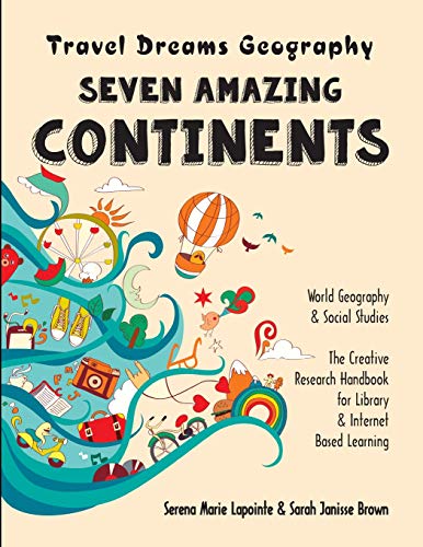
-
Basher Geography: Countries of the World: An Atlas with Attitude
Mary Budzik, Simon Basher
Paperback (Kingfisher, Feb. 13, 2018)This brand-new addition to the Basher range of books, which include the bestselling Complete Periodic Table from the Basher Science series, offers a unique and exciting way to explore the world. Basher Geography: Countries of the World features a different take on the traditional atlas approach and will capture the imagination of readers with its quirky and highly memorable characters to visualize the world's countries (and other key territories). You'll never forget the huge and fascinating country of Brazil envisaged as a footballer! Accompanying each country character is a detailed map as well as key facts and some amazing information. Who knew that over 820 different languages are spoken in Papua New Guinea, or that Peru has more pyramids than Egypt?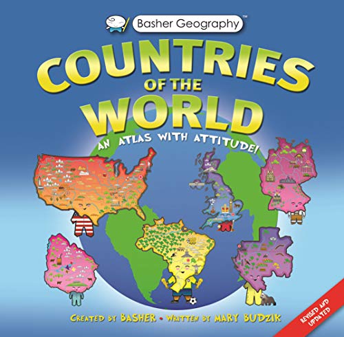 W
W
-
Geography & Maps Activities, Intermediate | Ages 9+
Rand McNally
Paperback (Rand McNally, May 13, 2016)Action and adventure accompany geographers on their journey around the world with Schoolhouse's Geography & Maps Activities, Intermediate. This workbook uses a fun action heroes format to help kids expand their knowledge of world geography. Geography & Maps Activities, Intermediate features: A workbook of activities that further develops map skills and world geography knowlegde. Hands-on activities, colorful pictures, and interesting facts. A glossary of map terms. Paperback, 128 pages. Dimensions: 8 1 2 x 10 7 8 Also available! Geography & Maps Activities, Beginner | Ages 6+. ISBN-10: 0528015435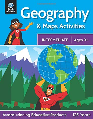 R
R
-
Beginner's U.S. Atlas 2020
National Geographic Kids
Paperback (National Geographic Children's Books, Sept. 8, 2020)The updated third edition of this popular atlas introduces young readers to the wonders of all of America's states and territories, with maps, fun facts, geographical features, and more.This fun, easy-to-use atlas takes kids on a journey around the U.S. to showcase what's unique about each state and territory. Every profile starts with a colorful map and a lively essay and includes capital cities; population; important land and water features; state birds, flowers, and flags; and more. It's all packaged in a bigger format, with a refreshed design, and bold, bright photos and illustrations. National Geographic--known for its authoritative data, expert cartography, and beautiful photography--is the number one provider of atlases for people of all ages. R
R
-
National Geographic Kids U.S. Atlas 2020
National Geographic Kids
Paperback (National Geographic Children's Books, Sept. 8, 2020)Current, authoritative, and produced by the expert cartographers at National Geographic, this best-selling United States atlas is newly updated with all the latest info--sure to be welcome in libraries, classrooms, and homes.Kids will have fun learning about each and every U.S. state in this amazing 6th edition atlas, packed with maps, stats, facts, and pictures. National Geographic's world-renowned cartographers have paired up with education experts to create maps of all 50 states, U.S. territories, and Washington, D.C., that pinpoint the physical features, capitals, and other towns and cities. Discover the latest data along with colorful photography of each state and the people who live there. Key points reflect the latest information about land and water, people, and places. Lively essays cover each region of the country. Eight specially themed maps on nature, population, economy, energy, climate, and more delve deeper into key issues. State birds and state flags add to the high visual interest. This is a great reference for home and school with all the basics kids need to know to succeed in middle school, high school, and beyond. Y
Y
-
Collins Children’s Picture Atlas
Collins Maps
Hardcover (Collins, July 1, 2019)A beautifully illustrated picture atlas designed to take children on an exciting journey around the world.The atlas opens with the continents, then presents a world view of countries before exploring deeper into each country and the exciting places to visit within each. • The maps are clear, colourful and perfect for children to explore the world and let their imaginations run riot. • Illustrated by Steve Evans. • This book is ideal for home or school and finding out more about the world whilst also helping to develop essential reading skills. • Clear, colourful, highly informative, illustrated mapping designed for young readers. • Arranged by continent for easy reference. • Facts about the world we live in are included on each spread. V
V
-
DK First Atlas: A First Reference Guide to the Countries of the World
Anita Ganeri, Chris Oxlade
Hardcover (DK Children, May 17, 2004)The DK First Atlas brings each continent and country to life, making geographic concepts easy to understand. Packed with detailed pictorial maps specially designed for young readers, this First Reference title is an invaluable learning tool for home and elementary school. S
S